Expanding an Oil and Gas Facility? Consider 3D Laser Scanning Services
 If your organization is considering making an update or addition to an existing oil and gas facility, there are no shortage of issues you must account for. You must be able to design your addition so that it can quickly and easily integrate with the existing facility. This is the only way to ensure that the facility won’t have to go offline for longer than necessary during the construction process and will be up and running at its full potential as soon as possible after the addition.
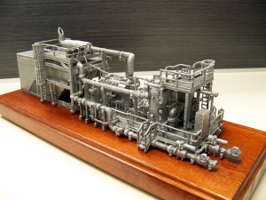
Unfortunately, the addition of new elements requires you to have exact measurements of the existing facility. This is where using the latest land surveying technologies can be beneficial. By using employing 3D laser scanning services to create exact models of your existing facility before you begin working on the addition, you’ll be able to take exact measurements, allowing you to determine things like pipe configurations in advance. In turn, this will ensure that your oil and gas facility addition project will proceed according to schedule.
In this post, we’ll talk a little bit about how 3D laser scanning services work, go over some of the specific benefits it can offer your project, and describe how you can get started making the most of this technology.
3D Laser Scanning: A Brief Overview
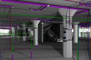
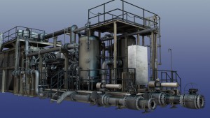
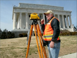
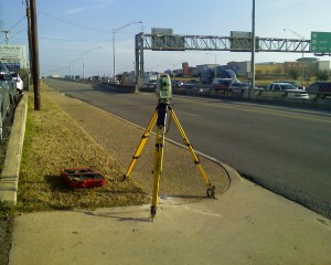
3D laser scanning works by setting up a series of scanners around the facility that is to be scanned. These scanners will then user a laser, then track the flight path of those lasers as they bounce back off the surface of the facility. By combining data about the flight paths of these many different laser points into a single data cloud, the 3D laser scan provides very detailed information that can be used to create extremely realistic and accurate 3D models of the facility in question.
By conducting a 3D laser scan of a facility before the project enters the design phase, organizations will start with a baseline of their current facility, making it quick and easy to design a plan for the new elements that are to be added on to the facility during the construction phase. Since these new pieces can be configured early on in the process, instead of an organization having to wait until later in the design process to configure the components on site, 3D laser scanning can lead to a greatly expedited timeframe for an expansion or upgrade project.
3D Laser Scanning Services Can Help Save Time and Money
The actual on-site scanning of an oil and gas facility can be completed in as fast as a single day, while finished deliverables can often be turned around in less than a week. This makes 3D laser scanning a much faster alternative for gathering information about a facility than traditional scanning methods. In addition, since 3D laser scanning helps provide detailed information about a facility, including exact measurements and potential areas for concern, it contributes to a project that is quicker and more efficient overall. Finally, since 3D laser scanning can help engineers and designers spend less time on measuring and gathering information and more time on actually executing the project, it also helps to cut down on the total costs of the project.
In order to pursue the many benefits of 3D laser scanning for oil and gas facilities projects, it’s important that you work with a trusted, experienced partner that can help you make the most of the technology. This is where Landpoint can help. Review some examples of our recent projects to get a better idea for what we can do with 3D laser scanning, or contact us today to get started.

